
Trace a Farmington Street by Address
A named street is a row of separate parcels, not a single record. Dakota County's public property search starts with a parcel identification number, also called a PIN, or a street address. Its map then lets a researcher move from one parcel to the next. The card can identify the recorded owner, the address used for tax notices, the municipality, legal and tax descriptions, building details, valuation, tax facts, and homestead information. None of those fields creates a complete list of people at an address.
- Enter the address or PIN in the Dakota County Property Information Search. If a full address fails, try the house number or a partial street name and choose the right candidate parcel.
- Confirm the municipality and situs address, then note the PIN and legal description from the property card. The situs is the physical parcel address used for mapping.
- Open the same parcel on the GIS map. Pan along the Farmington street and click each parcel individually to keep the street sequence accurate.
- Use the legal description, lot and block, or PIN to connect a parcel to plat and recorded-document research. A land record can show parties to a transaction, not current presence at the address.
- For a specific person's registration, use MNVotes with the required identifying details. For older subscriber evidence, preserve the address and consult the historical telephone-directory route.
Keep a simple parcel-by-parcel note of the address, PIN, legal description, source, and date checked. That approach avoids treating an owner mailing field or one map click as proof about a whole Farmington street.
Search Fields for Farmington Parcels
The public Dakota County Property Information Search uses two main entry paths. Both lead to an automatic candidate list when more than one parcel could fit the words entered. Select the candidate before relying on a map location or property panel. A parcel marked “PENDING NEW” may have incomplete information and should be checked again after county processing.
| Map search control | How it is entered | What happens next |
|---|---|---|
| Parcel ID | Exact PIN, with or without dashes | Opens the parcel-specific map and information panels. |
| Address | Full or partial house number and street | Returns candidate parcels to select before reviewing details. |
| Candidate list | Generated result list | Pans and zooms to the selected parcel. |
| Map click | Click a parcel polygon | Opens Property Information, Tax Information, and Building Information. |
| Print or export | Map controls | Offers standard or high-quality PDF output, subject to browser popup settings. |
The less-text search tip is particularly useful for the Farmington street directory because address formatting can vary. It does not turn the tool into a broad street roster. Each selected result still belongs to one parcel.
Browse Farmington Streets in GIS
County GIS is the practical street-by-street view. Search an anchor address, open its card, then pan or zoom and click parcel polygons on either side or across the road. Dakota County's Online Property Maps offers parcel outlines, aerials, contours, parks, trails, bikeways, floodplain, road construction, roundabout, recent-sales, Torrens, and other public layers. Those layers add place context. They do not establish a legal boundary or identify every person connected with a property.
Dakota County's Property Information help shows the candidate-result and property-panel workflow used for a Farmington street directory search.
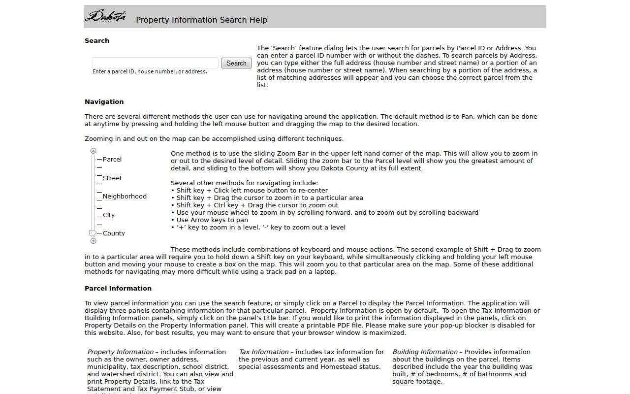
The help view is useful for separating the initial candidate selection from the Property, Tax, and Building panels that follow a parcel click.
A separate Dakota County Online Property Maps page describes the broader map collection available while examining a Farmington street.
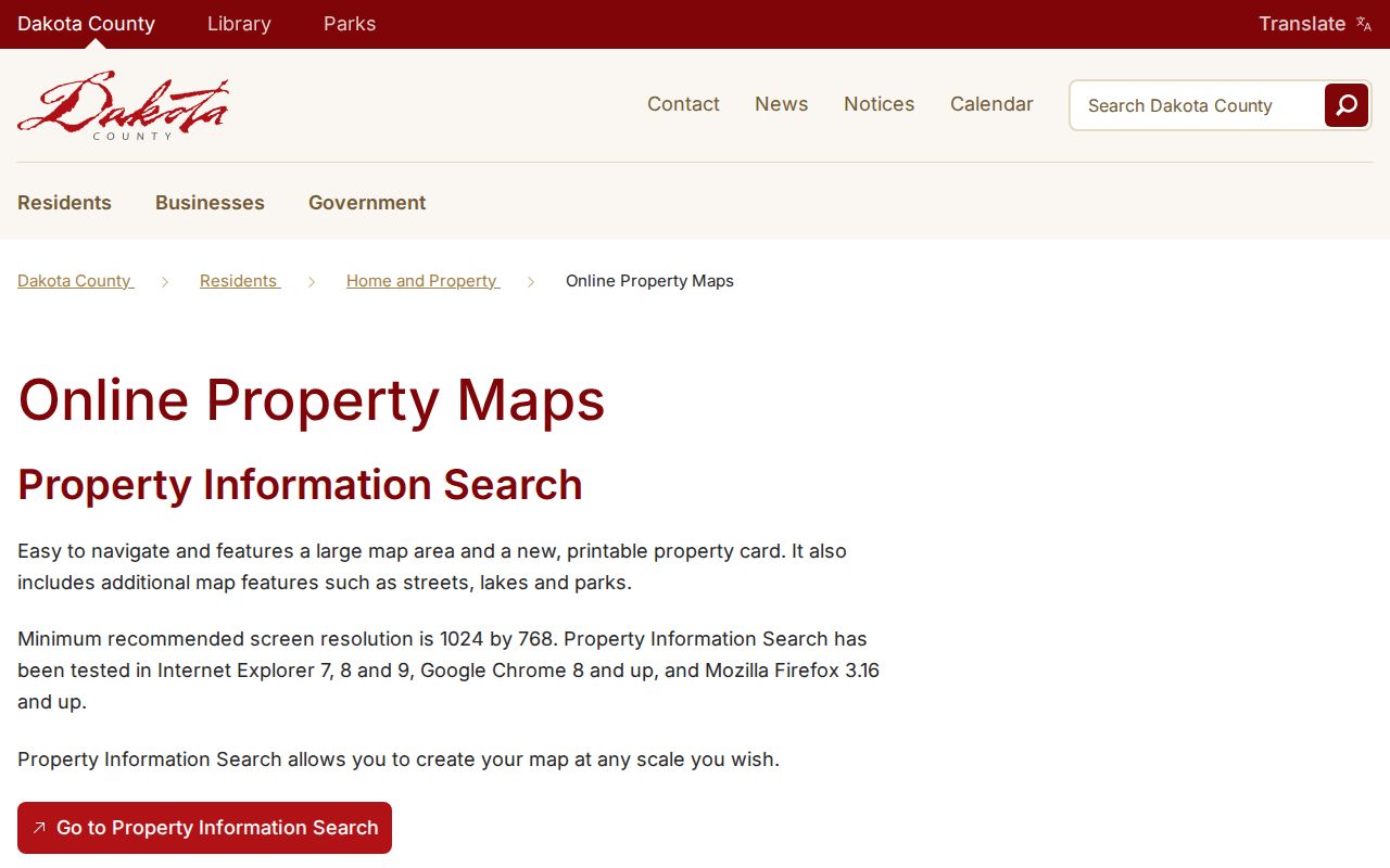
Use the public layers to understand parcel setting and nearby infrastructure, then return to the individual property card for parcel-specific fields.
Farmington Street Records by Address
Address-keyed sources have different keepers and limits. The county assessor and GIS establish the parcel key. RecordEASE and the recorder connect legal descriptions to recorded document parties. City routes can preserve address-based project or issue clues when public. MNVotes is deliberately narrower: it verifies one registration match after the required name, date-of-birth, and address or ZIP and locality information is supplied.
| Address record | Farmington route | Useful fields | Access limit |
|---|---|---|---|
| Property card | Dakota County Property Information Search | Owner, mailing address, municipality, legal and tax description | Free address or PIN search, one parcel at a time |
| Parcel map | Dakota County GIS | Parcel shape, nearby parcels, aerials, contours, and public layers | Public map; informational rather than a survey |
| Recorded documents | Property Taxation & Records / RecordEASE | Recorded parties, document type, date, and placement | Account or payment route, plus county counter and mail options |
| Plat and survey records | Dakota County Survey Office | Lot, block, subdivision, registered-land, and right-of-way context | Online collection route or Survey Office assistance |
| City permits and issues | BS&A e-permits and Farmington Fix | Address, project or category, and public notice clues when available | Public permit-result schema and historic coverage are not verified |
| Registration check | Minnesota Secretary of State MNVotes | Individual address and jurisdiction match | Not an open street-browse tool |
The chain is strongest when each source repeats the same parcel key. It becomes weaker when it relies on a mailing label, a ZIP, or a modern street spelling alone.
Read Farmington Parcel Terms
Land records use several terms that are easy to mix up. Dakota County's parcel card and map make a useful bridge between a Farmington street directory search and the recorder or survey office.
- Parcel or PIN
- A county-specific property identifier used to retrieve one parcel card and map location.
- Situs address
- The physical address of the parcel. It is the right key for map browsing and city address records.
- Plat
- A recorded map that organizes a subdivision or other land layout. It can connect a street address to lot and block language.
- Legal description
- The recorded land description, often a lot and block or another formal boundary description. It is more durable than a street-name spelling.
- Criss-cross directory
- An address-ordered historical directory that can point to a subscriber. A verified Farmington title and year have not been located.
Dakota County's online plat and survey search route is the starting point for lot, block, and registered-land context.
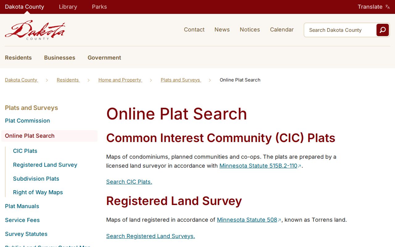
Use a plat or survey to clarify the land description, then compare it with the parcel card and recorder record instead of assuming an address alone resolves an older parcel.
Separate Farmington Situs and Mailing Addresses
The property card may show both a situs address and an owner mailing address. The situs identifies where the parcel lies. The mailing address tells Dakota County where to send tax correspondence. They may differ because an owner uses another address, a representative receives notices, one person holds several parcels, or a mailing record has not been updated.
The owner field is an ownership clue, and homestead information is an owner-occupancy indicator. Neither is proof of present physical presence. For a Farmington street directory, label the field accurately and avoid turning a tax-notice destination into a claim about who is at the property.
Follow Farmington Deed Clues
Dakota County Property Taxation & Records maintains the recorded-document trail through RecordEASE. The visible portal requires an account or payment path before its authenticated search functions can be inspected, so its unobserved search tabs, field choices, and result ordering should not be assumed. The dependable starting facts are the current coverage notice and the parcel's legal description.
The RecordEASE notice checked on August 26, 2026 reported Abstract and Torrens computer indexes through August 25, 2026. Online abstract indexing reaches back to July 8, 1993. That 1993 cutoff is an important Farmington street directory limit, not the beginning of local land history. Earlier work belongs with county deed books, microfilm, counter research, or a recorder request.
Carry the current legal description backward through grantor and grantee names, document dates, book or document numbers, and any image available through the authorized route. If a parcel split, subdivision, transfer certificate, or name variant appears, keep the land description in the notes before moving to the prior transaction.
Farmington Permit and Issue Locations
Farmington Building Inspections confirms an online BS&A e-permit route for construction, additions, alterations, decks, sheds over 200 square feet, roofing, siding, windows, unfinished space, demolition, and changes of use. The inspected city material confirms applications and uploads, but not a public search form, its exact fields, or a historic public coverage period. That gap matters when evaluating a missing result.
Farmington Fix is location and category driven. Its reported categories include code, fire, parks and trails, roads, snow and ice, trees, utility, and website issues. A plotted location may help identify a public request trail, but a missing complaint is not a clean-code certificate. City materials describe a first notice with ten days, followed by later notice stages that can include cost recovery and possible tax assessment of unpaid costs.
Use MNVotes for a Farmington Address Match
MNVotes is useful only after narrowing the question to one person. The lookup requires a name and date of birth, then an address or a ZIP, county, city or township, house number, street, and optional unit route. It confirms an individual registration or status match. It does not offer anonymous browsing of every Farmington street.
A separate statewide voter-file request has restricted eligibility, certification, and fee rules. Its public data categories and walking-list format do not make it a household roster. Full dates of birth and government identifying numbers are withheld, and protected participant locations must not be reproduced or inferred. A voter record is one time-sensitive registration source, not a complete answer about an address.
Farmington Street Names and Land Context
Farmington City Code adopts the Dakota County Uniform Street Naming and Addressing System. The exact historical renumbering year or county grid formula was not located in the research. Do not connect a modern address to an older directory entry merely because the street name looks familiar. Compare the legal description, lot and block, neighboring parcels, and historic downtown or railroad context.
Farmington was platted in 1864, developed around a railroad depot and business district in 1865, and incorporated in 1872. Annexation records also affect the legal context of a parcel: city materials identify Castle Rock annexations in 1976, an Empire annexation in 1980, an orderly-annexation agreement in 2006, and the ISD 192 and Technology Park sequence beginning in 2024. These are land-jurisdiction clues, not personal records.
Check Farmington Historical Address Leads
The digitized July 1945 Central Telephone Company directory is a historical subscriber source for Farmington, with names, business or “res” notation, phone or exchange numbers, and occasional location wording. It is not a complete resident list. Children, non-subscribers, unlisted numbers, and many other connections to an address can be absent. Preserve initials and abbreviations exactly before comparing them with census or newspaper material.
For another year, ask Dakota County Library, the Minnesota Historical Society Gale Family Library, or Dakota County Historical Society before claiming that a direct or reverse volume exists. The library's MNLINK interlibrary-loan route can request books or microfilm, with up to twelve active requests and most filled in about thirty days. The Farmington city directory collections explain the historical shelf and its verified gaps in more detail.
Limits of a Farmington Street Directory
Property cards, recorded documents, maps, registration checks, and city location records each have a narrow purpose. They do not disclose a complete set of non-owner occupants, minors, protected voters, utility customers, delivery information, or private organization rosters. DMV address data is restricted under the federal Driver's Privacy Protection Act. A map also is not a legal survey.
Use records lawfully. Farmington address records support personal research and civic transparency, but they must not be used to stalk, harass, intimidate, or harm another person. Confirm important facts with the office that holds the record.
When an online search ends, contact the appropriate custodian instead of filling gaps with assumptions. Dakota County Property Taxation & Records handles older deed and copy questions in Hastings, while the Survey Office, city records staff, library, MNHS, and DCHS provide different routes for plat, municipal, directory, and archival material.