
Farmington Neighbors Block Sources
Farmington neighbors can be researched parcel by parcel through Dakota County's public property tools. The record type matters. GIS answers which parcels lie around an anchor address. A property card provides owner and mailing information for one parcel at a time. Deeds can add a recorded transfer trail. Civic pages offer public organization contacts, while voter channels have narrow identity, access, and use limits. None of these sources is a complete block roster.
| Source | What It Shows About the Block | Access |
|---|---|---|
| Dakota County GIS parcel map | Parcel outlines, nearby parcel IDs, and links to parcel panels | Free map with click, pan, and zoom |
| Property Information cards | Owner, mailing address, legal or tax description, and property facts for each selected parcel | Free address or PIN search, one parcel at a time |
| MNVotes and qualified voter-file route | Individual registration confirmation or authorized voter-file geography | Individual lookup is free; full file has eligibility, fee, and purpose limits |
| RecordEASE and recorder research | Recorded parties and land-document context for adjoining legal descriptions | Account or payment path, counter, mail, and copy-request alternatives |
| Public civic links | Organization contacts, events, and community service routes | City and organization pages, not member rosters |
Keep the difference between owner, mailing contact, and occupant clear. The owner field is a land-record fact. A mailing address is where tax correspondence goes. Neither proves a full household or present physical occupancy. GIS and the assessor card supply the anchored facts, while any additional record should be tested against the parcel's legal description.
Farmington Neighbor Parcel Method
Use the Dakota County Property Information map as the starting point for Farmington neighbors. Enter the anchor address or PIN, select the candidate parcel, and verify the municipality and legal description in the visible panels. The map is the reliable browse tool for nearby parcels. Research did not find a documented one-click adjacent-parcel control, radius tool, buffer export, or mass neighbor download.
- Open the anchor parcel and save its PIN, situs address, legal description, and visible owner or mailing fields.
- Pan or zoom to each parcel polygon that shares a boundary or faces the same street, then open its separate property panel.
- Record each nearby PIN and compare its legal description before connecting it to a deed, plat, or public address record.
- Use a plat or registered-land survey for a precise boundary because the GIS view is informational, not a legal survey.
For a whole named street rather than the immediate Farmington neighbor set, use the parcel-by-parcel workflow on the Farmington street directory page. The block method stays focused on surrounding polygons and their recorded land context.
Farmington Neighbor Map Context
Layers in Dakota County GIS help describe the physical setting shared by Farmington neighbors. The county's online property maps offer parcels plus aerials, contours, parks, trails, bikeways, floodplain, road construction, roundabouts, recent sales, Torrens, and other public layers. The Property Information view also offers map layers and basemap choices. When a full address does not return a candidate, the county help suggests entering less text, such as a house number or partial street. Use those layers to distinguish a shared edge, a road, a park corridor, or a drainage feature from a personal relationship.
These are place-context layers. They do not identify every person connected to nearby Farmington parcels. Public school, watershed, road, flood, and similar district information can explain the block's geography, but it should not be read as a household record. Where a parcel is new or marked “PENDING NEW,” its visible facts can be incomplete or subject to change.
Dakota County treats its GIS map as informational rather than a boundary survey. The county lists public terminals at the Western Service Center and two main-atrium property terminals, plus GIS assistance at 952-891-7081 and gis@co.dakota.mn.us. Public GIS data is free under chapter 13 for standard geographic subsets and formats, while custom work can be charged. Those alternatives are useful when the browser map alone does not resolve a Farmington parcel question.
Note: A map click opens parcel-specific information, so repeat the inspection for every surrounding Farmington parcel rather than extrapolating from one card.
Farmington Neighbors and Voter Rules
MNVotes is an individual registration-confirmation tool, not a free Farmington block browser. Its individual route asks for a name and date of birth, then uses address details such as ZIP, county, city or township, house number, street, and an apartment or unit when applicable. A match confirms registration status for that identity. It cannot establish every voter or every household around an address.
Minnesota's public voter-information rules under section 201.091 allow specified public fields, but full date of birth and government identification numbers are not public. A full voter-file request can include a street-sorted walking-list format only for a registered Minnesota voter who certifies an allowed elections, political-activity, or law-enforcement purpose. The current Secretary of State voter-list request route describes the qualifications and geographic choices. Protected participants must not be identified or reverse-engineered from a public record.
Farmington Neighbor Community Contacts
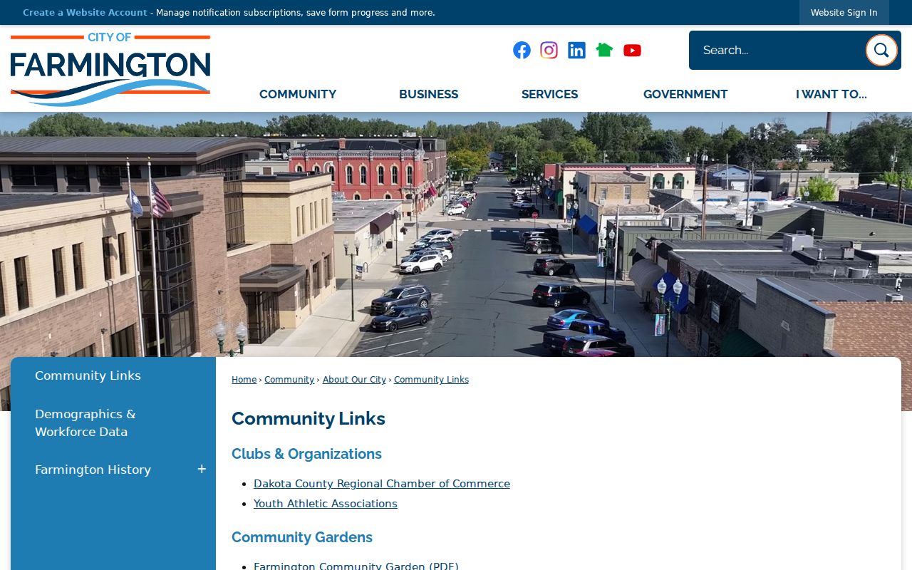
Public organization pages are a better route for community contact than guessing at a private roster. Farmington's official Community Links page connects people to the Dakota County Regional Chamber, community gardens, schools, fairs, county services, local media, and civic resources. It is an index of public organizations, not an official neighborhood-association or member directory. An official citywide Farmington HOA directory was not located.
The Farmington Community Links page shows the city-maintained collection of civic and community resources.
Use the linked organizations to find public contact channels, event information, or volunteer routes without treating participation as a residential record.
City Community Links
Official city umbrella for public community and regional resources. It does not provide a verified HOA or neighborhood member index.
Farmington Youth Athletics
Public links cover baseball, fastpitch softball, volleyball, wrestling, football, basketball, hockey, lacrosse, track, figure skating, and Tigersharks.
Beyond the Yellow Ribbon
Dakota County Veterans Services lists a Farmington meeting contact at City Hall. It is a public civic route, not a membership list.
Farmington Rotary
The Farmington Rotary public site provides civic-service and meeting information, not a verified complete member list.
The Farmington association and youth links collect public organization routes for local activities and contacts.
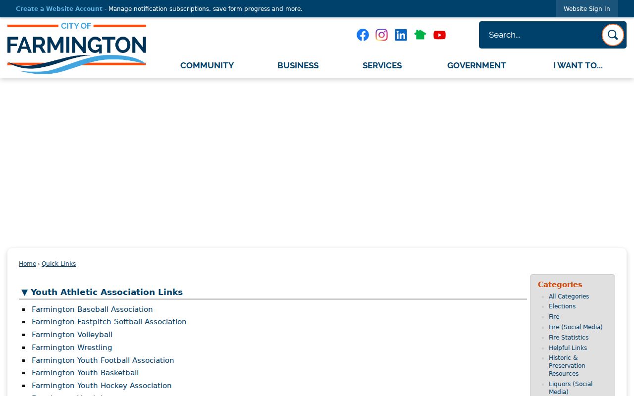
Each group controls its own contact and participation terms, so a public link is not evidence that a person belongs to it.
The Dakota County Yellow Ribbon page lists the Farmington community meeting route through Veterans Services.
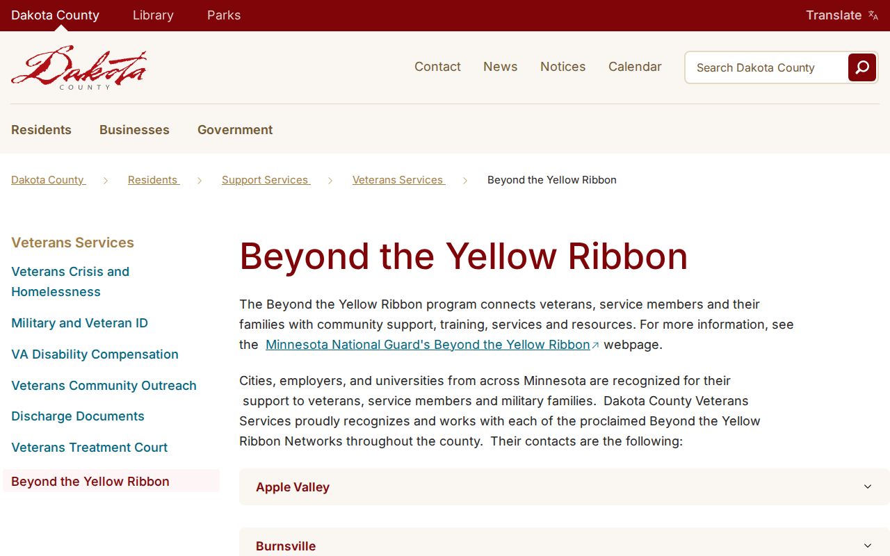
The page supplies public meeting information and support contacts, rather than a list of Farmington neighbors who participate.
Farmington Neighbor Tools Compared
Official records and commercial neighbor-lookup categories answer different questions. The county map and property card identify a source, a parcel, and the custodian behind it. A commercial category may merge address and marketing data, but its profile can be stale, combined with another person, or missing its source trail. Verify any lead with the office that maintains the underlying record.
| Route | Best Use | Limit to Keep in Mind |
|---|---|---|
| County parcel map and card | Identify adjacent parcels and recorded owners | Owner and mailing data are not a household or occupancy finding |
| Recorder and plat records | Check land description and documented transfers | Access can require account, payment, counter, or copy-request steps |
| Commercial neighbor-lookup category | Generate a lead to verify elsewhere | Profiles can be stale, merged, or lack a clear custodian source |
Farmington Neighbors in Deed Records
When adjacent Farmington parcels need a stronger land connection, move from the property card to the legal description, then to recorder and plat sources. RecordEASE offers the Dakota County recorded-document path, but its public entry screen does not expose authenticated search fields or result details. The current notice says abstract online indexing begins July 8, 1993 and showed Abstract and Torrens indexes through August 25, 2026. Earlier record work can require county deed books, microfilm, staff research, or archive routes.
Use the Dakota County plat and survey search route to bridge lots, blocks, subdivisions, registered land, and right-of-way context. A plat clarifies land geometry. It does not turn a block into a list of people. For each adjoining parcel, preserve the PIN and legal description before drawing conclusions from a surname or a mailing address.
Farmington Neighbors in 1869
Farmington's early civic record adds a useful reminder that a place and its residents are not the same kind of evidence. The city history describes an 1869 incorporation petition with 40 resident signatures and the Governor Marshall pocket-veto story. The town was platted in 1864, developed around a depot and business district in 1865, and incorporated in 1872 after earlier failed efforts. That story can help date the civic setting for historical research, but it does not identify a modern block or prove an address match.
For present-day Farmington neighbors, use current parcel and city records rather than old assumptions. The city's established neighborhoods and newer development, along with the Technology Park process, make parcel ID and legal description safer anchors than a neighborhood label alone.
Farmington Neighbors and Privacy
Some information about Farmington neighbors remains protected even when a parcel map is public. Property cards do not enumerate all household members. Public land records do not release utility-customer, delivery, or restricted motor-vehicle data. Minnesota Safe at Home protects identity and location data for participants under Minnesota Statutes section 13.045, and a substitute address is not a normal residence clue. The Minnesota Consumer Data Privacy Act took effect July 31, 2025, but it does not make government data private simply because a commercial source might also hold similar information.
Lawful use. Use Farmington neighbor records for personal, civic, or property curiosity. Do not use any record to watch, intimidate, track, harass, or harm another person.