
Farmington Address History by Era
Farmington previous residents are best traced as a sequence of land and household records. Dakota County Property Information supplies the current parcel identity, while the recorder preserves recorded land documents. Earlier household evidence is not continuous. The local telephone book, state and federal census schedules, archive finding aids, and a historic map each answer a narrower question. The stable link between them is usually the legal description, lot and block, or a carefully checked historic street reference.
| Source | Years Covered | Where to Use It | What It Can Establish |
|---|---|---|---|
| RecordEASE abstract index | July 8, 1993 to current online indexing | Dakota County RecordEASE, with account access | Recorded-document trail and party research after the online start |
| Torrens computer index | Current notice through August 25, 2026 | Dakota County RecordEASE | Registered-land memorial and transfer context |
| Central Telephone Directory | July 1945 | Dakota County Historical Society PDF | A subscriber, number, and occasional place wording, not every occupant |
| Minnesota and federal census | State years 1857 to 1905; federal releases through 1950 | Minnesota Historical Society and library databases | Household snapshots, subject to release and survival limits |
| Farmington Sanborn sheet | September 1885 | Library of Congress | Building and street context, not names of occupants |
Begin with the most recent, reliable parcel data, then work backward only when the description stays consistent. For older deeds, directories, and maps, Dakota County, the Minnesota Historical Society, and the Dakota County Historical Society provide the counter, archive, library, and mediated-research routes that an online search does not replace.
Farmington Parcel Card History
The Dakota County Property Information search is the practical first stop for a Farmington address. An address or PIN leads to a parcel card with the PIN, legal or tax description, current owner, owner mailing address, municipality, and lot or block details where available. The owner and mailing fields can direct land-record research, but neither field proves who occupies the property. A mailing address may be somewhere else, and the parcel card does not supply a historical list of residents.
Save the PIN and legal description before opening other sources. An old deed may use a subdivision, lot, block, or metes-and-bounds description instead of the current street string. That is why the parcel card is more useful than a sale date alone when comparing possible Farmington past residents to a specific place.
Note: A card marked “PENDING NEW” can be incomplete or subject to change, so confirm its details before building a historical chain.
Farmington Deed Chain Records
Recorded transfers can create the backbone for Farmington previous residents research, but they are ownership records first. Use the current parcel card to identify the land, then use the same legal description as you move through Dakota County documents. A grantor is the party transferring an interest. A grantee is the party receiving it. In a backward title search, the seller named in one transfer becomes the next earlier grantee to investigate.
- Record the current PIN, situs address, owner, legal description, and lot or block from the property card.
- Determine whether the record context is Abstract or Torrens, then use the owner or legal description through the authenticated recorder route.
- Identify the purchase transfer and preserve its document number, book or page reference, date, document type, and any image availability.
- Treat the seller or grantor in that transfer as the next earlier grantee, while keeping the legal description in view.
- Repeat the comparison backward and stop to resolve parcel splits, plats, transfer certificates, name variants, or changed descriptions.
- Grantor / grantee
- The transferor is the grantor; the recipient is the grantee. Those roles change from document to document.
- Chain of title
- A documented sequence of recorded transfers for the same parcel or legal land description.
- Legal description
- The lot, block, plat, tract, or metes-and-bounds land identifier that can outlast a changed street label.
Farmington RecordEASE Address Dates
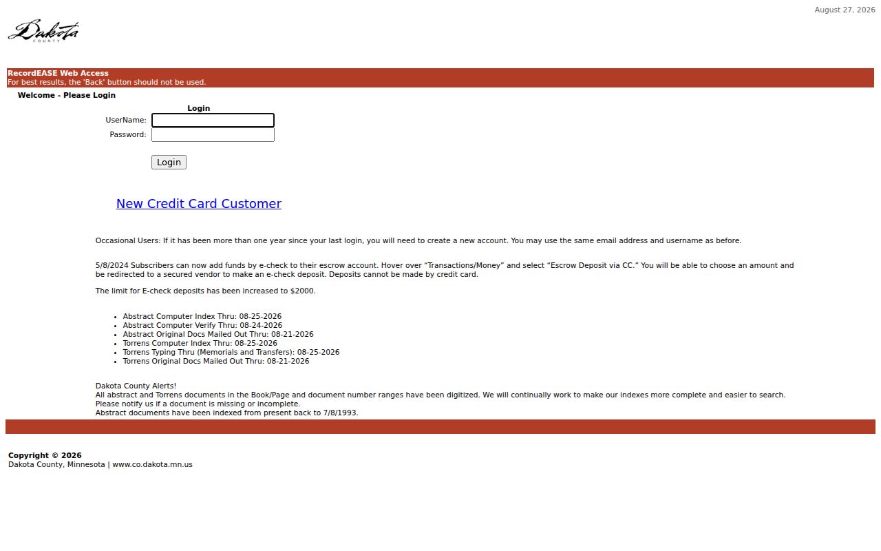
The numbers on Dakota County RecordEASE set an important boundary for Farmington previous residents. The portal notice inspected on August 26, 2026 displayed Abstract and Torrens computer indexes through August 25, 2026, while online abstract indexing begins July 8, 1993. The notice also says Abstract and Torrens documents in book, page, or document-number ranges are digitized. Digitization does not mean anonymous access. The visible entry screen requires login, account, or payment arrangements, and the detailed search fields and result fields were not available for unauthenticated inspection.
The RecordEASE access screen and coverage notice show the sign-in path and current processing information for the Dakota County recorder.
Use the notice as a date boundary, not as proof that every earlier Farmington transfer is absent or that a particular image is openly available.
Farmington Records Before 1993
When the online abstract trail reaches July 8, 1993, carry the last confirmed legal description and owner to Dakota County deed books, microfilm, or a recorder research request. Property Taxation & Records accepts research and copy inquiries at its Hastings office, and the county also documents mail and counter copy routes through its recorded-document purchase instructions. A mailed request identifies the parcel or document and follows the county's return-envelope and payment instructions. County staff can also help identify a book, page, or document reference.
For a specific Farmington deed question, Property Taxation & Records lists 1590 Highway 55, Hastings, MN 55033, 651-438-4597, and records@co.dakota.mn.us. Its copy material describes $1 per page and $10 for a certified copy, while a county scam warning also says a basic county deed copy can be free. Call before paying because the county's own notices do not state one identical price.
Do not turn a tax-card sale date into an earlier ownership claim. Older land research can also move through plats, the County Survey Office, MNHS finding aids, Dakota County Historical Society material, and probate sources. The recorder's online cutoff is a technology boundary, not the beginning of Farmington land records.
Farmington Past Residents Pairing
Land records identify a transfer, not every household. For Farmington previous residents, pair the deed trail with the July 1945 Central Telephone Directory and the nearest available census. The 1945 directory is a Central Telephone Company subscriber snapshot. It can show a name, phone number, “res” notation, business heading, or occasional location language, but it omits children, non-subscribers, unlisted numbers, and many people who may have been present.
- Transcribe the directory spelling, initials, number, and “res” notation exactly as printed.
- Compare that name or address with the 1940 or 1950 federal census when available, plus the verified Minnesota state census years: 1857, 1865, 1875, 1885, 1895, and 1905.
- Match household ages, relationships, and street or locality details before connecting a directory listing to a parcel.
- Use newspapers, obituaries, and probate records through the library, MNHS, or DCHS to test the household trail.
Federal records are released under the current 72-year rule, with 1950 the latest released federal census in 2026. A verified Farmington reverse or criss-cross directory run was not located. Ask Dakota County Library, MNHS, DCHS, or interlibrary loan staff about a specific year instead of assuming an address-indexed volume exists. The historical collections themselves are described on the Farmington city directory page.
Farmington 1885 House Context
The Library of Congress Farmington Sanborn map is a single sheet from September 1885. It can place a building within the early downtown street, block, and fire-infrastructure setting. Building outlines, construction material, height or function, doors, windows, water mains, hydrants, and historical street or house numbering make it useful for testing whether a building or block existed in that era.
The sheet does not name Farmington previous residents. Use it as built-environment evidence beside a deed, directory, newspaper item, or census record. Farmington was platted in 1864, the depot and business district followed in 1865, and incorporation came in 1872. The city's history also records an 1869 incorporation petition signed by 40 residents and the Governor Marshall pocket-veto story. That civic record is a local story of early presence, not a household list for a specific address.
Farmington Address History and Plats
Plat and survey records help when a Farmington address changes form across time. The County Survey Office's online plat and survey route connects subdivision, registered-land, condominium, and right-of-way records to the lot, block, and legal-description bridge. Use it when a deed's land description no longer resembles the current street address.
Farmington adopts the Dakota County Uniform Street Naming and Addressing System, but research did not locate a documented citywide historical renumbering year or a local official house-history guide. Do not force a modern address onto a nineteenth-century reference. Annexations from Castle Rock and Empire, the 2006 orderly-annexation agreement, and the Technology Park process can also affect jurisdiction or legal-description context. Compare plats and neighboring parcels before deciding two address references describe the same place.
The Dakota County Property Watch overview describes a free alert service that watches future recorded documents after enrollment.
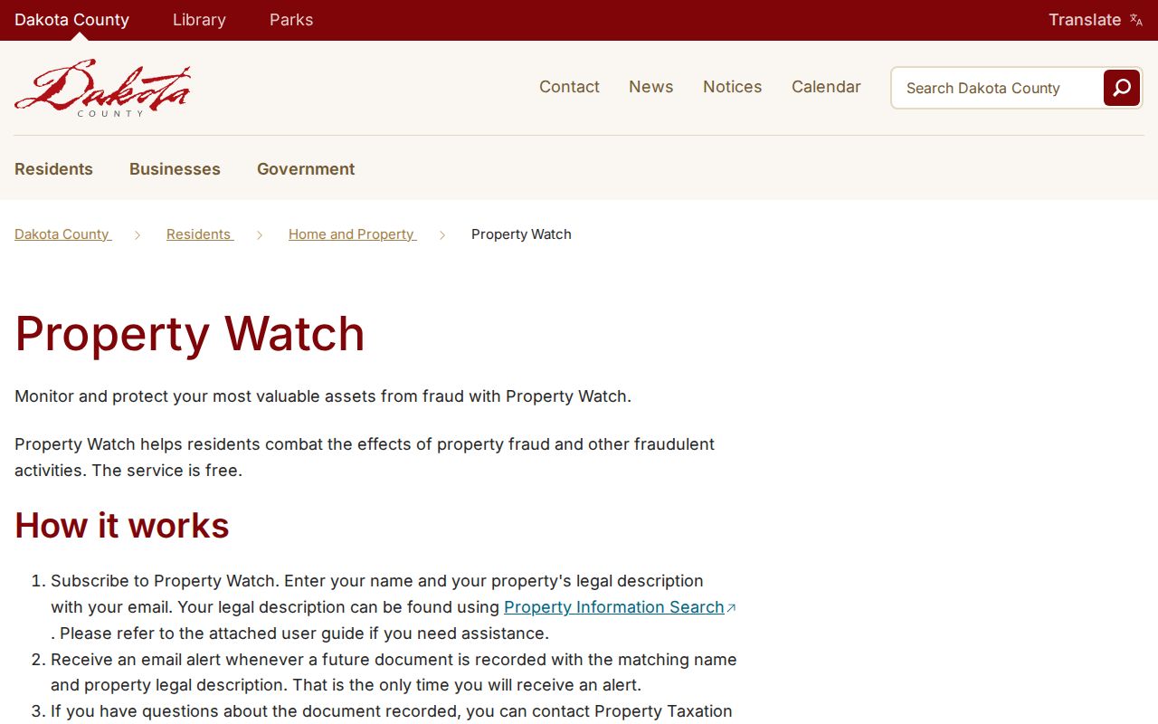
Property Watch can monitor new matching records by person or legal description, but it does not reconstruct a past chain or provide a current address list.
Common names can produce broad alert matches. Keep the legal description with the alert rather than treating a matching name as a confirmed parcel match.
Farmington Previous Residents Personal Use
Use Farmington previous residents records for family history, personal house history, estate or heir research, or to understand a parcel's documented past. The Minnesota Government Data Practices Act, Minnesota Statutes chapter 13, governs access to government data, but each custodian determines what its record can prove and how it is released. A recorder entry, census schedule, or telephone listing can be incomplete, historic, or tied to a different address. Preserve the source and date when comparing records.
Lawful use. Keep house-history research personal and respectful. Do not use a Farmington record to track, threaten, harass, or otherwise harm a living person.